 Vats Technosoft
A contour survey, also known as a topographic survey, is a type of land survey that measures and maps the contours, or the elevations and slopes, of the land. Contour surveys are commonly used to create detailed topographic maps that show the natural features of a particular area, including hills, valleys, streams, and other physical features.
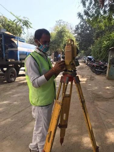
Contour surveys are typically conducted by licensed surveyors, who use specialized equipment such as total stations and GPS receivers to measure the elevations and locations of specific points on the land surface. They use these measurements to create contour lines, which connect points of equal elevation and show the shape and slope of the land.